Jungfrau Glacier Circuit

Saturday 07.08.2027 – Sunday 15.08.2027

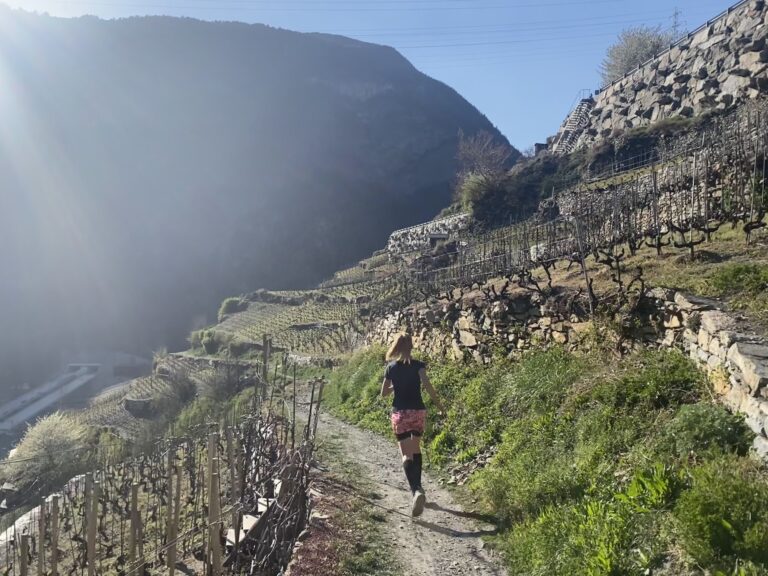
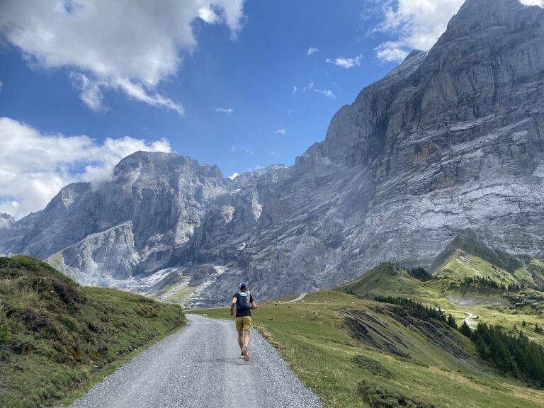
Seven days, four legendary mountain regions, and one monumental loop around the heart of the Swiss Alps. The Jungfrau Glacier Circuit is a fully organized trail running trek that starts and finishes in Meiringen. Led by an experienced guide, you will discover the incredible diversity of this high-alpine landscape. We spend our nights in mountain huts and hotels, moving onward each day with our trail running packs to complete this unique loop around the UNESCO World Heritage area and the Aletsch Glacier.
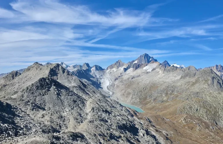
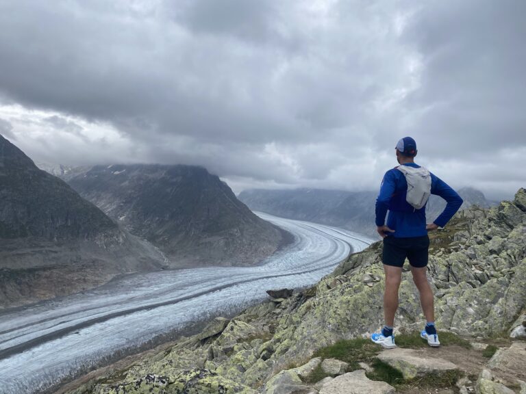
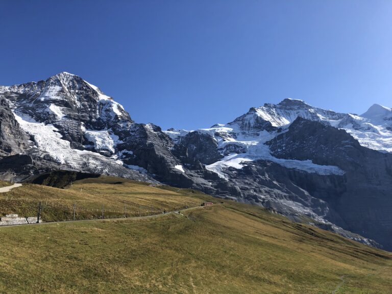
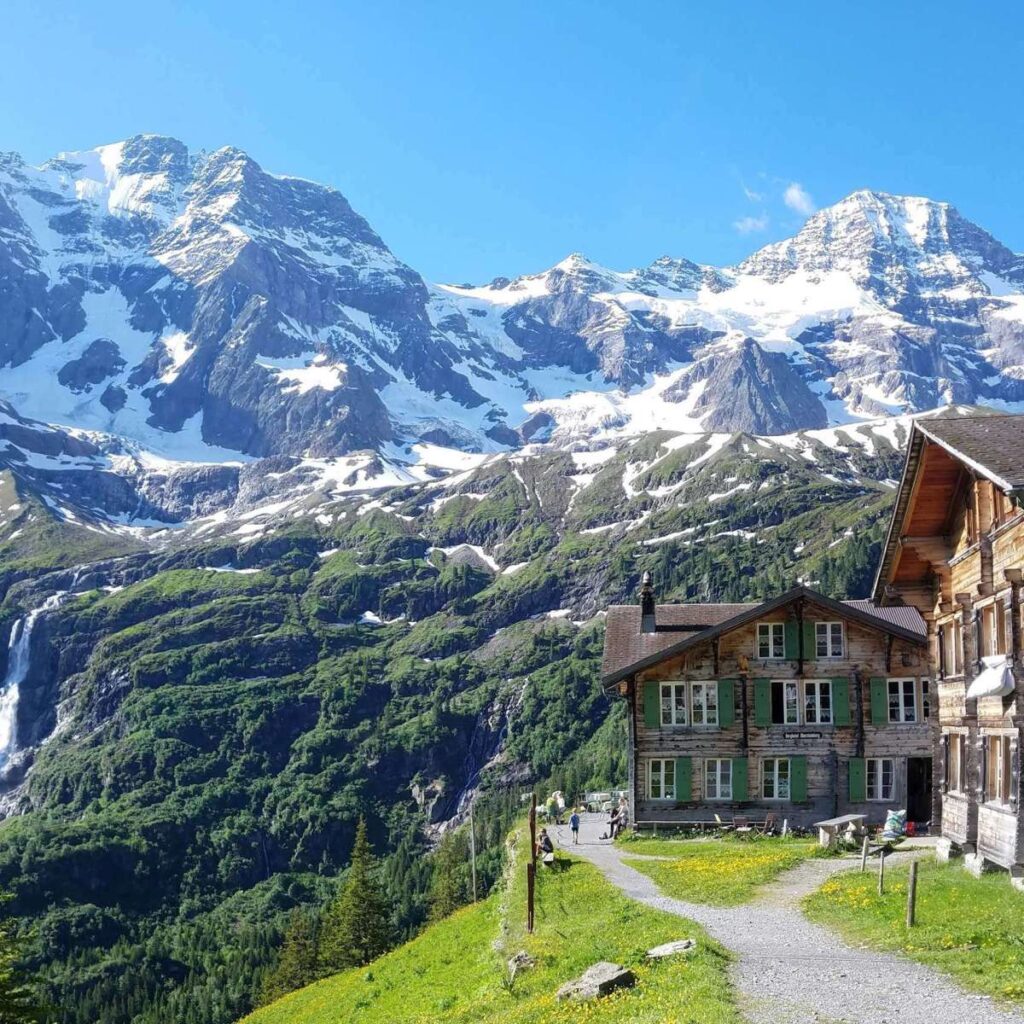
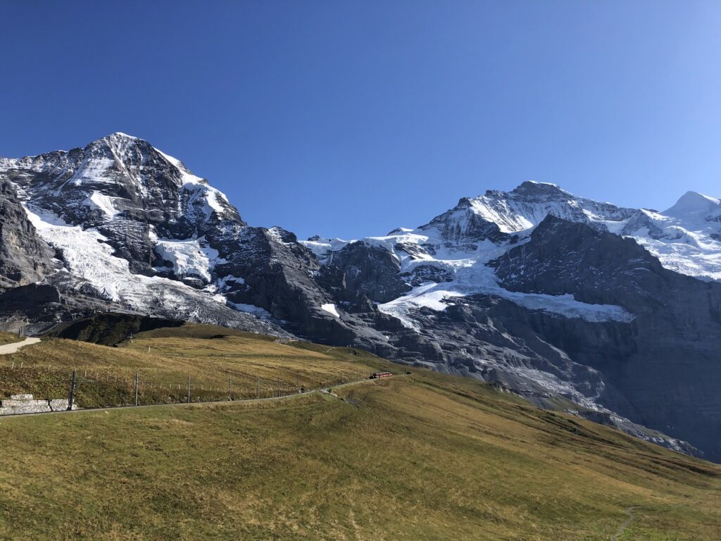
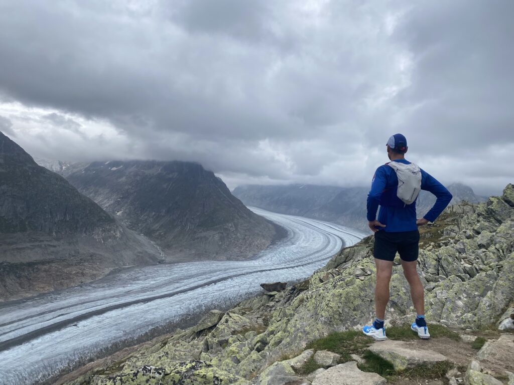
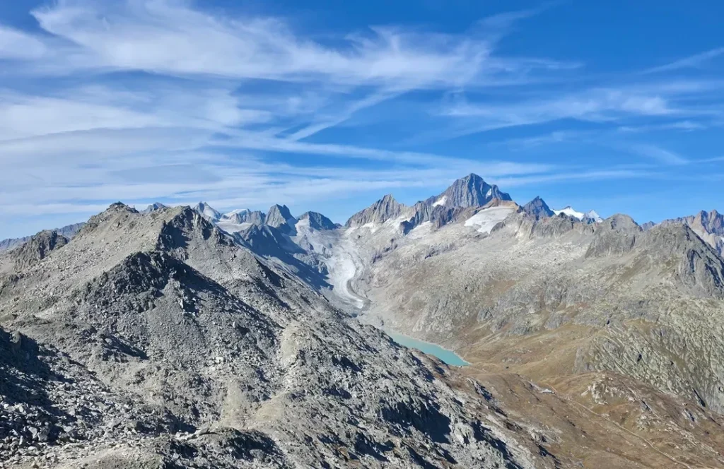
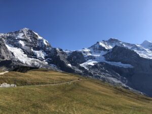
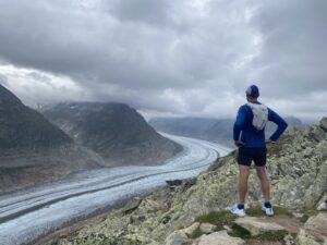
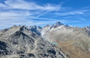
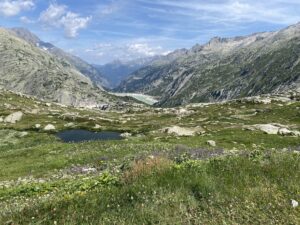
This circuit reveals every face of the massif. Starting from Meiringen, we journey through the rugged granite world of the Grimsel Pass toward Valais. The route constantly shifts in character: from the awe-inspiring ice of the Great Aletsch Glacier to the peaceful, deep valleys on the southern side. It is only when we reach the western section that the landscape opens up, bringing you eye-to-eye with the iconic trio: the Eiger, Mönch, and Jungfrau. The ultimate alpine challenge on technical singletracks!

Request a booking
Practical information
  • Category: Trail running
  • Distance: 253.77 km
  • Elevation: 17648 meter
  • Max height: 2833
  • Participants: 4 - 12
  • Difficulty:
  • Price: 1595 per person
  • Trail running backpack with a minimum capacity of 20 liters
  • Rain cover for your backpack, or waterproof bags inside your pack for spare clothing
  • Trail running shoes with good grip and a solid tread
  • Trail running poles are optional, but recommended for routes with more than 1000 meters of elevation gain
  • Multiple 0.5-liter soft flasks or a hydration bladder with a minimum capacity of 1 liter
  • Nutrition for the trail, such as gels and muesli bars
  • Identification
  • Emergency blanket
  • Basic personal first aid kit, including blister plasters and your own medication
  • Small tube of sunscreen and lip balm
  • Sunglasses and optionally a cap
  • Cash and/or EC card or credit card (debit card payments are not accepted everywhere in the Alps)
  • Fully charged headlamp, also for daytime tours
  • Small bag for waste and some toilet paper
  • Rain gear, at least for the upper body
  • In addition to short running gear, also a set of long clothing (long tights / long sleeve)
  • At least one pair of gloves, preferably two in case of multiple cold days
  • Buff / headband / optionally a thin beanie
  • Fleece jacket
  • Lightweight hardshell jacket
For the hut
  • Hut sleeping bag is essential
  • Identification (e.g. passport)
  • Insurance card
  • Optional Alpine Club membership card
  • Optional lightweight hut shoes / slippers
  • One set of clean clothes for the hut
  • Toiletries such as toothbrush and toothpaste
  • Charging cables for all your devices
  • Optional: power bank
Program

Day 1: Saturday, 07.08.2027 - Arrival in Meiringen

Today, everyone arrives in Meiringen to get ready for the adventure ahead. We’ll cook and enjoy a meal together, check our backpacks and get a good night’s sleep.

Day 2: Sunday, 08.08.2027 - Haslital to Oberaar

From Schattenhalb, we follow the Haslital valley towards Guttannen.
The long climb takes us deeper into the Grimsel region.
Wooded valleys gradually give way to rugged alpine terrain.
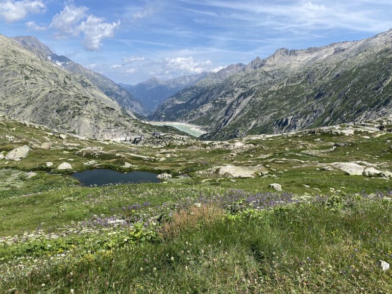
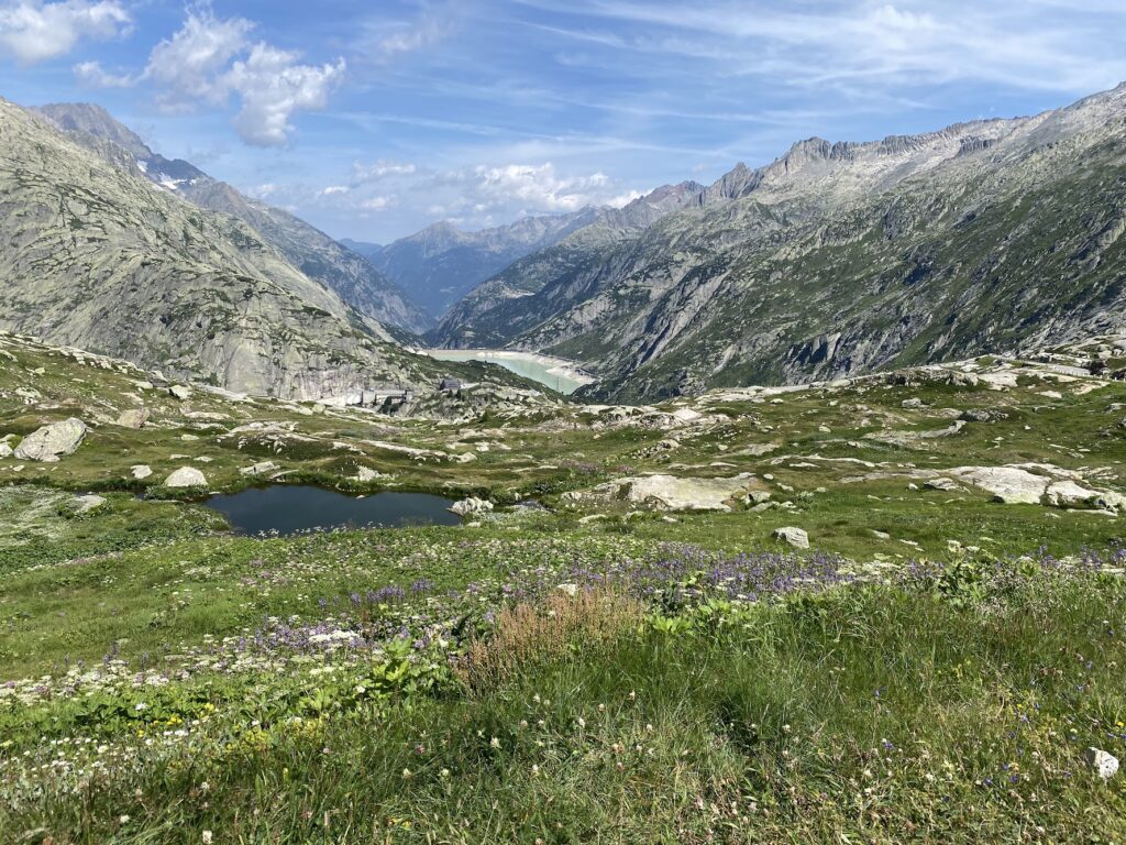
Near Oberaar, the reservoir and wide mountain panoramas come into view.
We finish at the Oberaarlake, surrounded by an impressive alpine landscape.

  • Distance: 33.31 km
  • Elevation: 2625 m
  • Max height: 2451 m

Day 3: Monday, 09.08.2027 - Along the Gommer Höhenweg

We set off from high-alpine Oberaar and make our way towards Goms.
The route passes Rundsee and follows mountain trails with views across the valley.
Along the Gommer Höhenweg, we discover the villages and landscapes of Upper Valais.
Near Bieligerberg, we take in one more sweeping mountain panorama.
The route ends in Bellwald, high above the RhĂ´ne Valley.

  • Distance: 37.50 km
  • Elevation: 2138 m
  • Max height: 2743 m
  • Ambassador

Day 4: Tuesday, 10.08.2027 - Through the Aletsch Arena

From Bellwald, we climb into the mountains towards Bettmeralp.
The route continues to Riederalp and through the protected Aletsch Forest.
Along the way, the views open up across the Aletsch region and its surrounding peaks.
We then descend towards Naters and the RhĂ´ne Valley.
A varied journey along the Aletsch glacier from sunny mountain villages down to the valley.

  • Distance: 39.18 km
  • Elevation: 2571 m
  • Max height: 2489 m

Day 5: Wednesday, 11.08.2027 - From the Südrampe to Lötschental

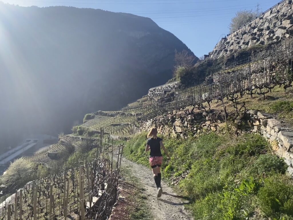
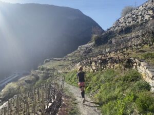
We start in Birgisch and follow the sunny southern slope towards Ausserberg.
The SĂĽdrampe leads west past mountain villages and steep hillsides.
Near Steg-Hohtenn, we leave the valley and climb towards Lötschental.
High above Wiler, we reach Lauchernalp.
A demanding transition from the RhĂ´ne Valley into the alpine mountains.

  • Distance: 38.96 km
  • Elevation: 3179 m
  • Max height: 2116 m

Day 6: Thursday, 12.08.2027 - Across two high passes

From Lauchernalp, we cross the Lötschen Pass towards Kandersteg.
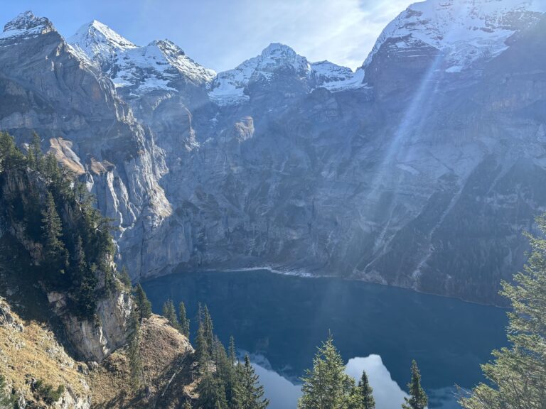
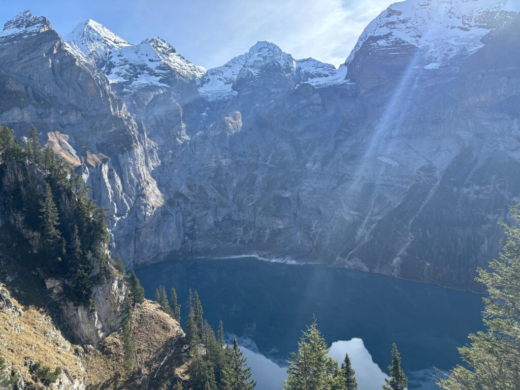
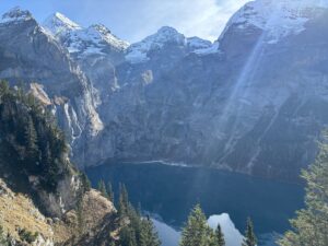
We descend through the Gasterntal and continue past Lake Oeschinen.
Then the long climb to the HohtĂĽrli begins.
At the top, the BlĂĽemlisalp Hut sits among glaciers and towering peaks.
An unforgettable crossing from Lötschental into the Bernese Alps.

  • Distance: 33.61 km
  • Elevation: 2715 m
  • Max height: 2833 m

Day 7: Friday, 13.08.2027 - Across the Sefinenfurgge

From the BlĂĽemlisalp Hut, we descend before climbing back up to the Sefinenfurgge.
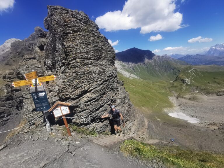
The high pass makes for a dramatic crossing between the mountain ranges.
We then descend towards Lauterbrunnen and its deep valley.
From there, another climb takes us to Kleine Scheidegg.
A long alpine traverse with striking changes in landscape and elevation.

  • Distance: 33.10 km
  • Elevation: 2570 m
  • Max height: 2833 m

Day 8: Saturday, 14.08.2027 - rom the Eiger to Reichenbach Falls

We set off from Kleine Scheidegg with the Eiger rising close above us.
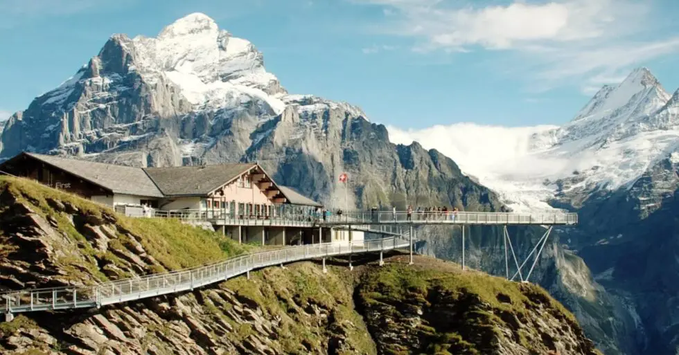
Via Grindelwald, we climb towards First and its Cliff Walk.
Next, we cross the Grosse Scheidegg and descend to Schwarzwaldalp.
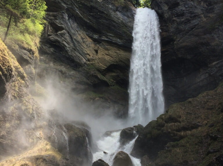
The route continues past Reichenbach and its famous waterfall.
We finish in Schattenhalb, back in the Haslital.

  • Distance: 38.11 km
  • Elevation: 1850 m
  • Max height: 2346 m

Day 9: Sunday, 15.08.2027 - Time to go home

Unfortunately, it’s time to say goodbye once again. We look back on an amazing journey, pat each other on the back, and share one last good hug. All that remains now is our departure and the pictures. On to the next adventure!

impressions